Highlights
Scale
40,000 sq.ft
Client
Greenville Landscape
Status
Completed
Location
Penang Island, Malaysia
Overview
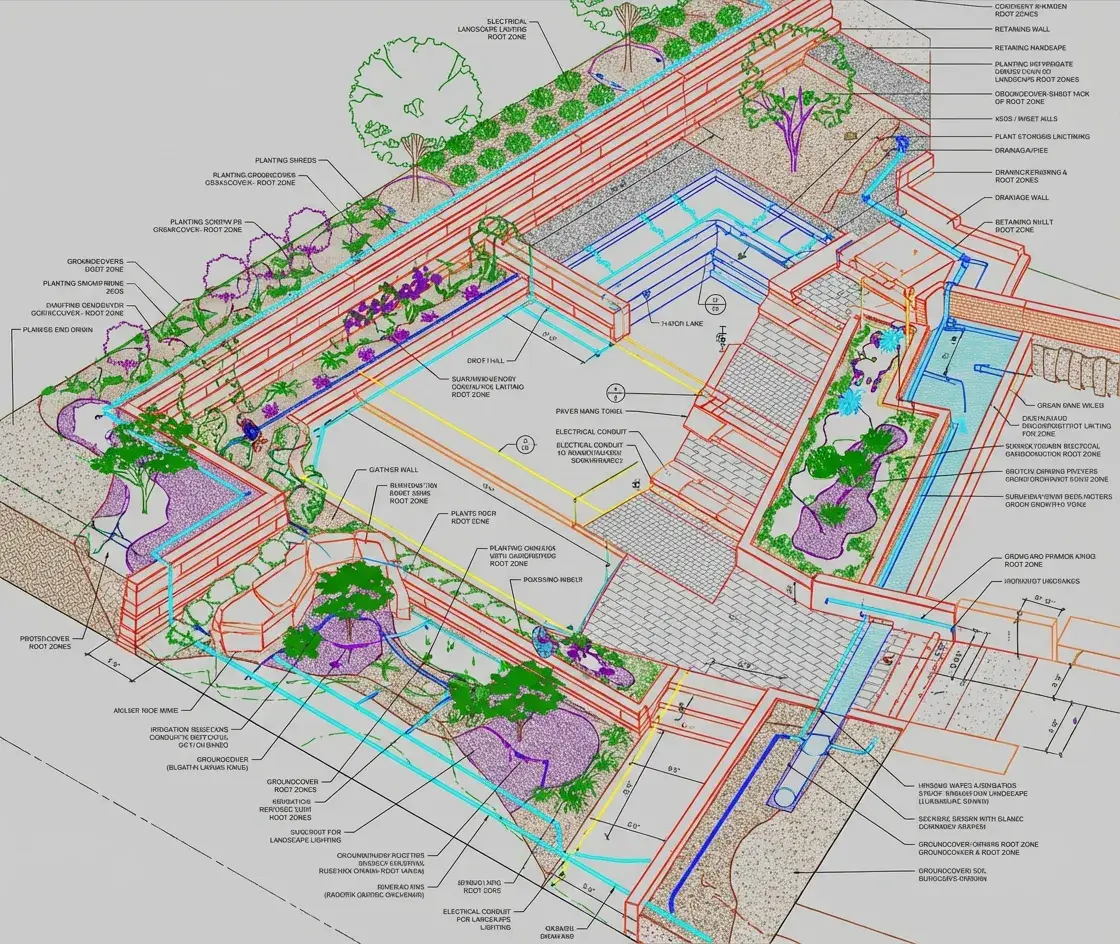
A landscape and site utility coordination project integrating BIM with terrain, grading, and site infrastructure to create a fully coordinated digital representation of the built and natural environment. The project involved aligning landscape elements, retaining structures, drainage networks, underground utilities, and built components within a unified BIM framework to enhance spatial clarity, reduce constructability conflicts, and support accurate design to construction translation. The integrated model served as a collaborative platform for designers, engineers, and contractors, enabling better decision making, efficient coordination, and improved execution on site.
Deliverables
- Landscape BIM coordination
- 3D site visualization
- Construction layout documentation
Gallery
Build Better, Faster
Partner with Aercon Infratech for your next project. Our team of BIM experts is ready to deliver precision-driven results that meet your standards and timeline.