Scan to BIM
Reality capture to accurate BIM models
Transform point cloud data into precise, coordinated BIM models that capture existing conditions with millimeter accuracy. Essential for renovation, facility management, and as-built documentation.
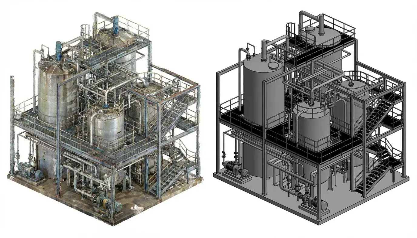
From Point Clouds to Intelligent Models
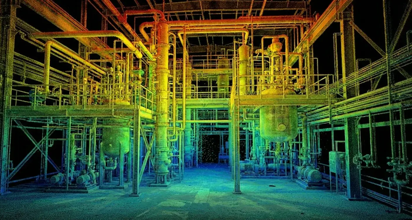
Laser scanning captures millions of 3D points representing existing buildings with unprecedented accuracy. Our Scan to BIM services transform this raw data into intelligent, parametric BIM models that can be used for design coordination, renovation planning, and facility management.
Whether you're planning a complex renovation or need accurate as-built documentation, our experienced team delivers models you can trust.
What We Offer
As-Built Services
Comprehensive reality capture and documentation solutions.
Scan to BIM
Accurate BIM models created from point cloud data, capturing existing conditions with millimeter precision.
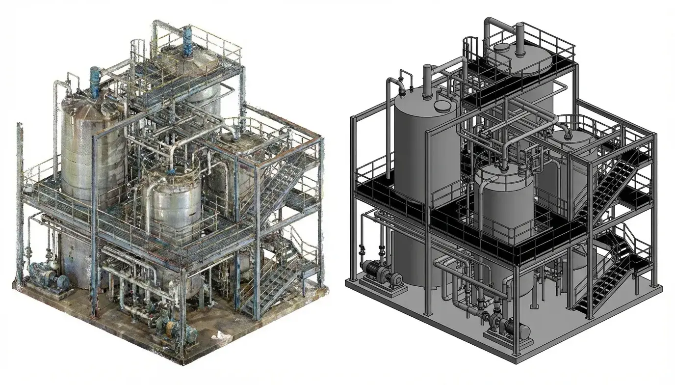
Scan to CAD
Precise 2D CAD drawings extracted from laser scan data for existing building documentation.
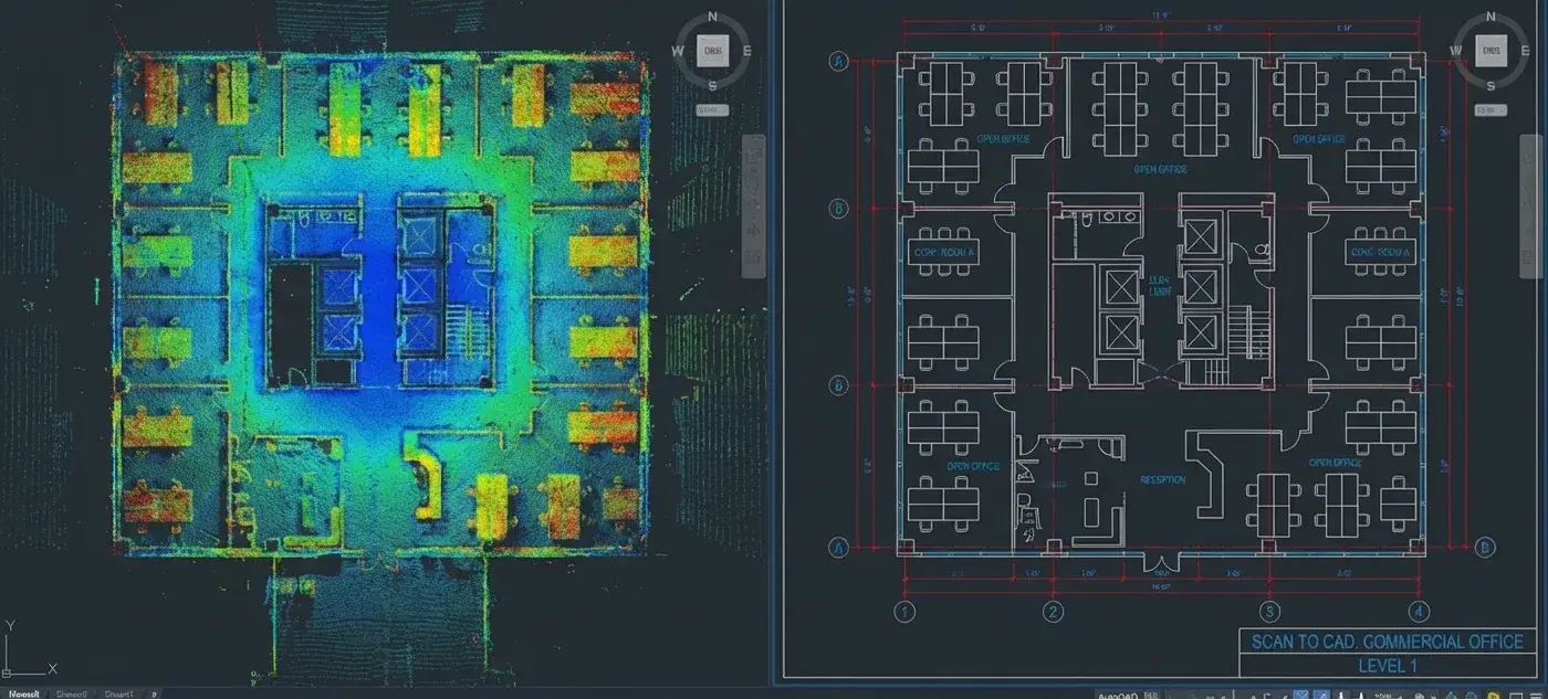
Laser Scanning
Comprehensive 3D laser scanning services using state-of-the-art equipment for accurate reality capture.
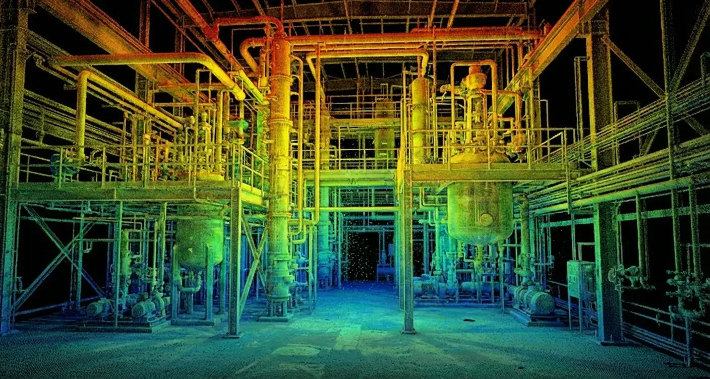
Asset Documentation
Detailed documentation of existing MEP systems, equipment, and infrastructure for facility management.
How We Work
How a scan-to-BIM package runs
From registered point cloud to a model with a stated accuracy you can rely on.
Point cloud receipt
We take registered scan data in RCP, RCS, E57 or your platform's format, and confirm coverage, registration quality and the control the survey was tied to.
Accuracy and scope agreement
We agree what is being modelled, to what tolerance and to what Level of Accuracy, and record the difference between what was measured and what will be represented.
Gap and RFI review
Occluded areas, missing scans and ambiguous conditions are listed up front, so unknowns are resolved on paper rather than guessed in the model.
Modelling to the cloud
Elements are modelled against the point cloud in your template, with real existing conditions represented rather than idealised geometry.
Deviation verification
The model is checked back against the cloud and deviations outside the agreed tolerance are reported, not quietly absorbed.
QA and standards check
Independent review against the agreed tolerance, naming convention and parameter requirements.
Delivery
The model, a deviation report and the accuracy statement, so anyone relying on it downstream knows exactly how far to trust it.
Our Benefits
What you actually get
Why a stated accuracy matters more than a good-looking existing-conditions model.
Reviewed by a registered architect
Aercon is architect-led — a registered architect oversees delivery, so your model is questioned on design and constructability, not only geometry. Sealing and professional responsibility stay with your professionals of record.
A stated accuracy, agreed up front
We agree the tolerance and Level of Accuracy before modelling and report measured against represented accuracy, so anyone relying on the model knows how far to trust it.
Gaps reported, not guessed
Occluded areas, missing scans and ambiguous conditions are listed as RFIs before modelling. Invented geometry in an as-built model is worse than a documented gap.
Verified back against the cloud
The finished model is checked against the point cloud and anything outside the agreed tolerance is reported rather than quietly absorbed.
A QA record, not a QA claim
Three gates before anything leaves: modeller self-check, an independent reviewer who did not build it, then lead sign-off. The signed checklist ships with the deliverable.
Your drawings stay yours
NDA before we receive anything, access limited to the named project team, and we never reuse a client's models, families or drawings for anyone else.
Our Work
Scan to BIM Projects
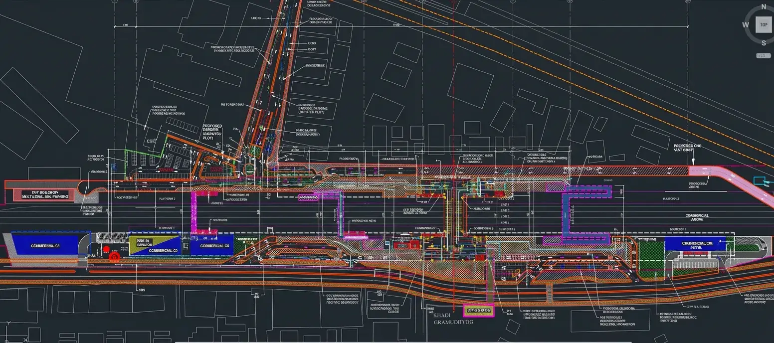
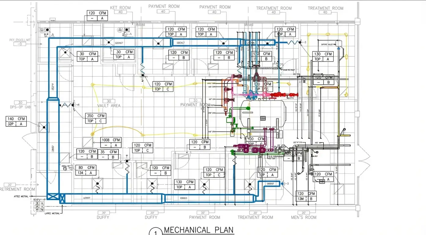
Explore our portfolio of reality capture and modeling work.
Sectors
Industries We Serve
Delivering BIM excellence across diverse sectors with tailored solutions.
FAQ
Frequently Asked Questions
Have point cloud data that needs modeling?
Get accurate BIM models from your laser scans.